Nuns Fire Vegetation Monitoring
Bill Miller, State Parks Environmental Scientist, Project Manager for this capstone project.
This project is done by Mike Fitzpatrick to meet the requirements for the California Naturalist Class taught in spring 2018 by Tony Passantino at Sugarloaf Ridge State Park in Kenwood, California. For more information about the Cal Nat class see: http://calnat.ucanr.edu/
Pepperwood Preserve designed the protocol for this study. For details on the how the measurements are made see the documents posted on this website: Proposed Post-Fire Forest Assessments. To see the locations of the monitoring sites look at the tracks in the GPS Maps above.
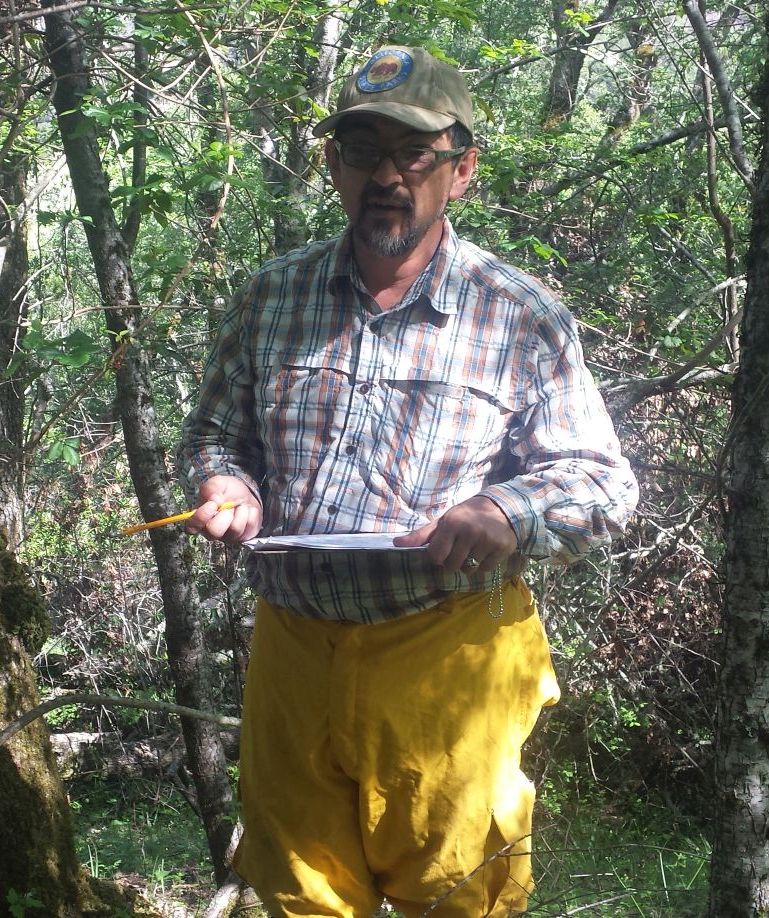
Vegetation monitoring is done to evaluate how well Trione-Annadel State Park and Sugarloaf Ridge State Park will recover from the devastating Nuns Canyon fire that occurred on October 8, 2017. Wendy Hayes, a classmate, and I assisted William Miller, California State Parks Environmental Scientist, by hiking into the remote areas of the parks and establishing monitoring sites. Simply put, a monitoring site is a location where measurements of the current state of fire damage are made for comparison at a later date to judge how the forest in that area is recovering.
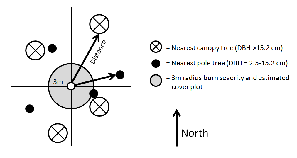
From the Pepperwood Protocol:
Sampling design is based on the plotless point-centered quarter method (Cottam and Curtis 1956). We will establish rebar with a protective tennis ball at the centerpoint and the sampled area will be based on the distances to the nearest canopy and pole trees in each quadrant. See the figure below for details.
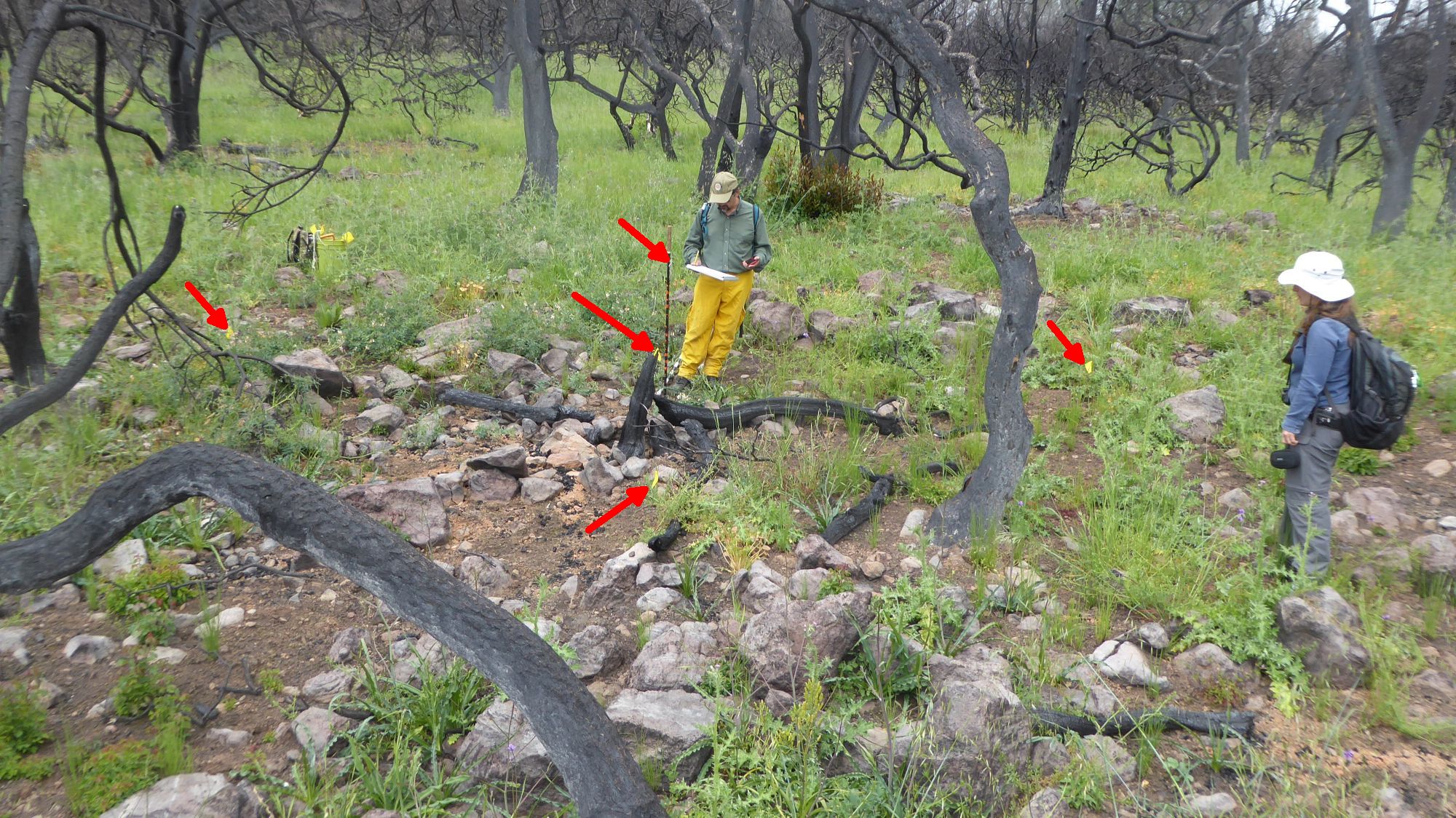
An overhead view of a monitoring site taken with the camera on a 48″ selfie stick. Look closely for the yellow flag next to the hiking pole in the center of the site. There is also a yellow flag at each of the four compass points (N, E, S, W).
Some interesting Photos from the Gallery

Fire damage to some of the Douglas Fir trees make them quite dangerous in Trione-Annadel State Park
Another dead fir tree ready to topple over. This tree was already dead before the fire. In 1993 a state crew girdled many large fir trees about 12″ from the ground to kill them because they were crowding out the oaks. Look closely at this photo and the one above to see evidence of the girdling.

This oak has toppled and is hung up in another snag.

More evidence of fire damage along Schultz Trail in Annadel.